Key Points
- Distance: 11 miles (17.7km) between Brampton and Carlisle with mostly gentle terrain
- Difficulty Rating: 3/10 – one of the easiest sections on the Hadrian’s Wall Path
- Elevation: Minimal climb with gradual descent, total ascent approximately 150 metres
- Facilities: Regular water points, public WCs in both towns, several pub/café options
- Transport Links: Excellent bus and taxi connections throughout, making this section highly flexible
- Wayfinding: Well-marked path with National Trail, suitable for navigation beginners
Overview of the Brampton to Carlisle Section
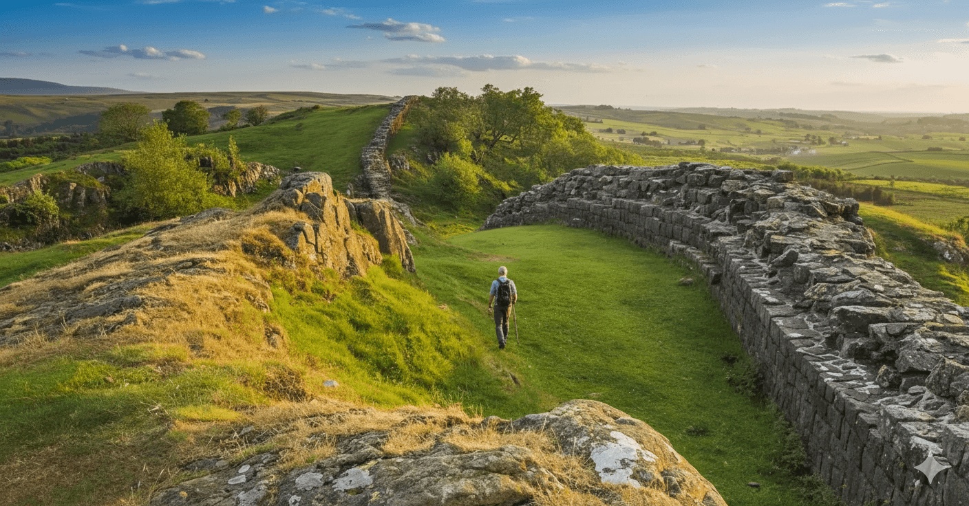
This 11-mile stretch marks either the beginning or end of the Hadrian’s Wall Path National Trail, depending on walking direction. Unlike the dramatic ridgelines and Roman fort ruins found further east, this section offers a gentler introduction (or finale) to the route, following quiet country lanes, riverside paths and peaceful farmland into Cumbria’s historic county town.
For those booking a self-guided walking holiday along Hadrian’s Wall, this stage provides an accessible day’s walking with excellent transport connections, making it ideal for walkers who prefer easier terrain or those easing into multi-day walking.
Distance and Walking Time
The 11-mile route typically takes between 3.5 to 5 hours of actual walking time, depending on pace and number of stops. This doesn’t include extended lunch breaks or time spent exploring either town. Walkers should allow a full day to complete the section comfortably, particularly if stopping for refreshments or taking photographs along the River Eden.
Most self-guided walking holiday providers build flexibility into this stage, recognising that some walkers may wish to take their time or explore Carlisle’s attractions upon arrival.
Elevation Profile and Terrain
Difficulty Rating: 3/10
This section earns its low difficulty rating thanks to minimal elevation gain and predominantly flat terrain. The total ascent is approximately 150 metres, spread gradually across the entire distance with no steep climbs.
The terrain varies between:
- Paved roads and pavements through urban areas
- Well-maintained footpaths across farmland
- Riverside trails along the Eden
- Minor country lanes with minimal traffic
The highest point sits at around 110 metres above sea level near Brampton, with a gentle descent towards Carlisle at approximately 35 metres elevation. There are no challenging gradients in either direction, making this one of the most accessible sections for walkers of varying fitness levels.
Underfoot conditions remain good year-round, though riverside sections can become muddy after heavy rain. Standard walking boots provide adequate support, though some walkers opt for trail shoes given the easier terrain.
Wayfinding and Navigation
Navigation along this section proves straightforward, with clear waymarking throughout. The National Trail acorn symbol appears regularly on fingerposts and waymarkers, supplemented by Hadrian’s Wall Path-specific signage.
Key navigation points include:
From Brampton: The path leaves the town centre heading northwest, clearly signed towards Carlisle. Initial sections follow quiet residential streets before joining country lanes.
Middle Section: Paths cross agricultural land with stiles and gates well-marked. Several farm tracks converge in places, so watching for acorn markers ensures staying on the correct route.
River Eden: The path joins the riverside at Linstock, where it becomes easier to follow as it tracks the water. This scenic stretch provides natural wayfinding – simply keep the river to one side.
Into Carlisle: Urban approach is well-signed through suburbs and into the city centre, though the multiple road crossings require attention.
An OS Map (Explorer OL43) or GPS device provides backup, though most walkers complete this section confidently using waymarks alone. Mobile phone signal remains strong throughout, allowing use of digital mapping apps if needed.
Water Points and Public Facilities
Brampton
- Public toilets located in the main car park off Market Place
- Shops, cafés and pubs provide opportunities to refill water bottles
- Several benches in the town centre for rest stops
En Route
- Limited facilities between towns
- Working farms occasionally visible but not appropriate for toilet stops
- River Eden provides a scenic rest point though no facilities available
- Several gates and stiles offer natural stopping points
Carlisle
- Public WCs in multiple locations including The Lanes shopping centre and near the castle
- Numerous cafés, restaurants and shops throughout the city centre
- Well-maintained parks with benches
Walkers should carry at least one litre of water when setting off, though opportunities to refill exist midway at properties offering refreshments (seasonal availability varies).
Lunch Options and Pub Stops
Starting from Brampton
The White Horse Inn – traditional pub serving food, ideal for an early lunch before setting off
Howard Arms – reliable food menu with outdoor seating in warmer months
Several cafés in the town centre offering takeaway sandwiches for those preferring to eat en route
Mid-Route Options
Banks Village (slight detour) – The Greyhound Inn provides a lunch stop roughly halfway, though requires leaving the main path for approximately 0.5 miles
Walby Farm Park Café (seasonal) – family-friendly refreshments, toilets available
Finishing in Carlisle
The city offers extensive dining options from traditional pubs to international cuisine. Walkers finishing early afternoon will find numerous establishments open.
Near the route’s end:
- The King’s Head – historic coaching inn near the cathedral
- Thin White Duke – popular with walkers, good-value menu
- The Thin White Duke (Botchergate) – craft beers and substantial meals
Booking tables ahead during peak walking season (May to September) is advisable, particularly in Carlisle on weekend evenings.
Bus and Taxi Exit Points
One of this section’s major advantages is excellent public transport access, providing flexibility for self-guided walkers needing to adjust plans.
Brampton: Service 685 (Newcastle-Carlisle) stops frequently in the town centre, connecting to Hexham, Haltwhistle and destinations further east along Hadrian’s Wall. Service 93 links to smaller villages.
Walby: Limited bus service but roadside location allows easier taxi pickup
Banks: Service 93 provides connections though infrequent
Carlisle: Major transport hub with extensive bus services including:
- Service 685 continuing to Newcastle
- Services to Penrith and the Lake District
- Local city buses
Taxi Options
Mobile phone signal remains strong throughout, allowing taxi booking from virtually any point. Main pickup locations include:
- Brampton town centre (Market Place)
- Roadside near Banks
- Walby Farm Park
- Linstock village
- Multiple points throughout Carlisle’s suburbs
Local taxi firms serving the area include Brampton Taxis and several Carlisle-based operators. Having contact numbers saved before setting off is recommended, particularly for afternoon pickups when demand increases.
Railway Connections
Carlisle station provides mainline connections to:
- Glasgow
- Newcastle
- Preston and Manchester
- Penrith (Lake District access)
This makes Carlisle an excellent starting or finishing point for self-guided walking holidays, with baggage transfer services typically coordinating with train arrival/departure times.
Practical Considerations for Self-Guided Walkers
Weather and Seasonal Variations
Cumbrian weather remains changeable year-round. This low-lying section offers less exposure to wind than higher sections of the Wall, but rain can make riverside paths slippery. Waterproof jackets should be carried regardless of forecast.
Spring (April-May) brings wildflowers along field edges; autumn (September-October) offers clear visibility though shorter days. Summer months see the heaviest walker traffic.
Baggage Transfer
This section works well for self-guided walking holiday packages with daily baggage transfer. Accommodation providers in both Brampton and Carlisle participate in transfer schemes, with bags typically collected by 9:00 AM and delivered to the next accommodation by late afternoon.
Wildlife and Scenery
Though lacking the dramatic landscapes of the central Wall sections, this stretch offers peaceful rural walking. River Eden sections attract birdlife including herons, dippers and seasonal migrants. Agricultural land shows typical Cumbrian countryside with hedgerows supporting small mammals and songbirds.
Photography Opportunities
- Brampton’s Market Place and church
- Open countryside views towards the North Pennines
- River Eden meandering through pastoral landscape
- Carlisle’s castle and cathedral spires visible on approach
- Historic architecture throughout Carlisle
Historical Context
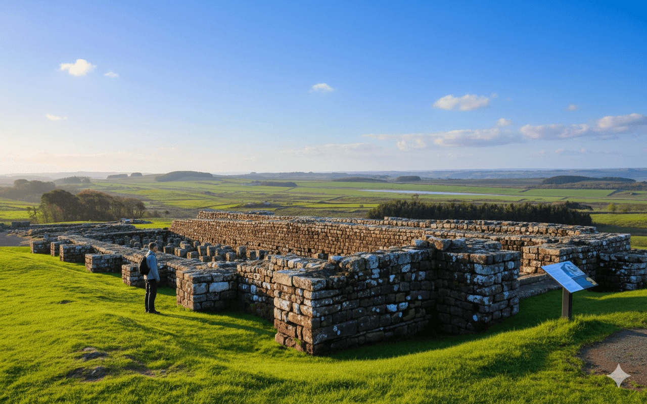
Whilst visible Roman remains are absent along this section, the route follows the approximate line of the Stanegate Roman road in places. Carlisle (Roman Luguvalium) served as a major garrison town and civilian settlement, and the excellent Tullie House Museum in Carlisle provides context for the entire Hadrian’s Wall story.
Walkers interested in Roman history might allocate extra time in Carlisle to explore the museum and castle, where Roman stonework remains visible in foundations.
Frequently Asked Questions
How difficult is walking from Brampton to Carlisle?
This section rates 3/10 for difficulty, making it one of the easiest on Hadrian’s Wall Path. With only 150 metres of gradual ascent and well-maintained paths, it suits walkers of average fitness. The distance of 11 miles is manageable for most people accustomed to walking, though those new to long-distance paths should allow 4-5 hours plus breaks.
Are there shops or cafés between Brampton and Carlisle?
Facilities between the two towns are limited, with Banks village requiring a short detour for The Greyhound Inn. Walby Farm Park offers seasonal refreshments. It’s advisable to carry water and snacks from Brampton, where shops and cafés cluster around the Market Place. Carlisle provides extensive facilities at the route’s end.
Can I get public transport along this section of Hadrian’s Wall Path?
Yes, this section offers excellent public transport. Bus service 685 connects Brampton and Carlisle regularly throughout the day, running between Newcastle and Carlisle. Carlisle serves as a major railway hub with mainline services to Glasgow, Newcastle and Manchester. Mobile signal remains strong for booking taxis from most points along the route.
Which direction is easier to walk – Brampton to Carlisle or Carlisle to Brampton?
Both directions present similar difficulty given the minimal elevation change. Carlisle to Brampton involves a gradual 75-metre ascent spread over 11 miles, barely noticeable to most walkers. The main consideration is transport connections and accommodation availability rather than terrain difficulty. Many self-guided walking holidays finish in Carlisle due to its superior transport links.
How long does it take to walk from Brampton to Carlisle?
Most walkers complete the 11 miles in 3.5 to 5 hours of actual walking time, depending on pace. Adding breaks for photographs, lunch and rest stops typically extends this to a 5-7 hour day. The flat terrain allows for faster progress than hillier sections elsewhere on Hadrian’s Wall Path, making this an achievable day walk for most fitness levels.
Is the path well signposted between Brampton and Carlisle?
Yes, wayfinding is straightforward with regular National Trail markers and Hadrian’s Wall Path signage throughout. The route follows a mix of country lanes, footpaths and riverside trails, all clearly waymarked. The approach into Carlisle requires attention at road crossings, but signs remain clear. An OS map provides useful backup though most walkers navigate successfully using waymarks alone.